


Translating nature’s intricate relationships into tangible measurements has been a longstanding challenge.
Until now.
Visualize cost-benefit opportunities to optimize natural landscape and built-environment performance – make decisions that lead to the most ecological benefit.
Uses a common unit of measure to support high-level performance estimating, detailed design analysis, as well as the proof you need to verify progress.
Friendly UI for users of all skill levels, regardless of ecological background.
Leverages 20 years of real-world application; co-developed with more than 100 subject matter experts.
ECOSYSTEM CONTEXT MODULE
Assess ecological change and evolving community needs.
COMING SOON
SCREENING MODULE
Identify performance gaps to inform budgeting and design.
DESIGN MODULE

Apply site-level data and interventions to maximize benefit.
Architectural & Engineering Planning
Embed ecosystem intelligence into due diligence, risk, siting, and design planning workflows.
Landscape
Restoration
Design context-appropriate restoration scenarios based on landscape performance data.
Natural Capital Accounting
Measure and verify natural capital asset condition using true on-the-ground feature data.
Reporting and Disclosures
Quantify and demonstrate progress on regulatory, ESG disclosures, 30x30, and other emerging mandates.
One platform to account for many diverse and complex relationships in nature.
Using a systems-based understanding of impacts and opportunities, the EI models allow you to visualize the co-benefits across climate, air quality, water, biodiversity, soil, and social factors. To ensure applicability towards ESG reporting, financial disclosures, and shifting policies and mandates, the platform will be continuously refined with input from the EI Commons.
Learn more about the Ecosystem Integrity Score


Screen individual sites in minutes.
Identify potential performance gaps to inform budgeting and design with the EI Screening Module.
01
Set up site boundaries and apply landcover types with just a few clicks.


02
Apply pre-defined interventions, tuned to the reference biome of your site.
03
Compare the benefits of each scenario to baseline and reference conditions.

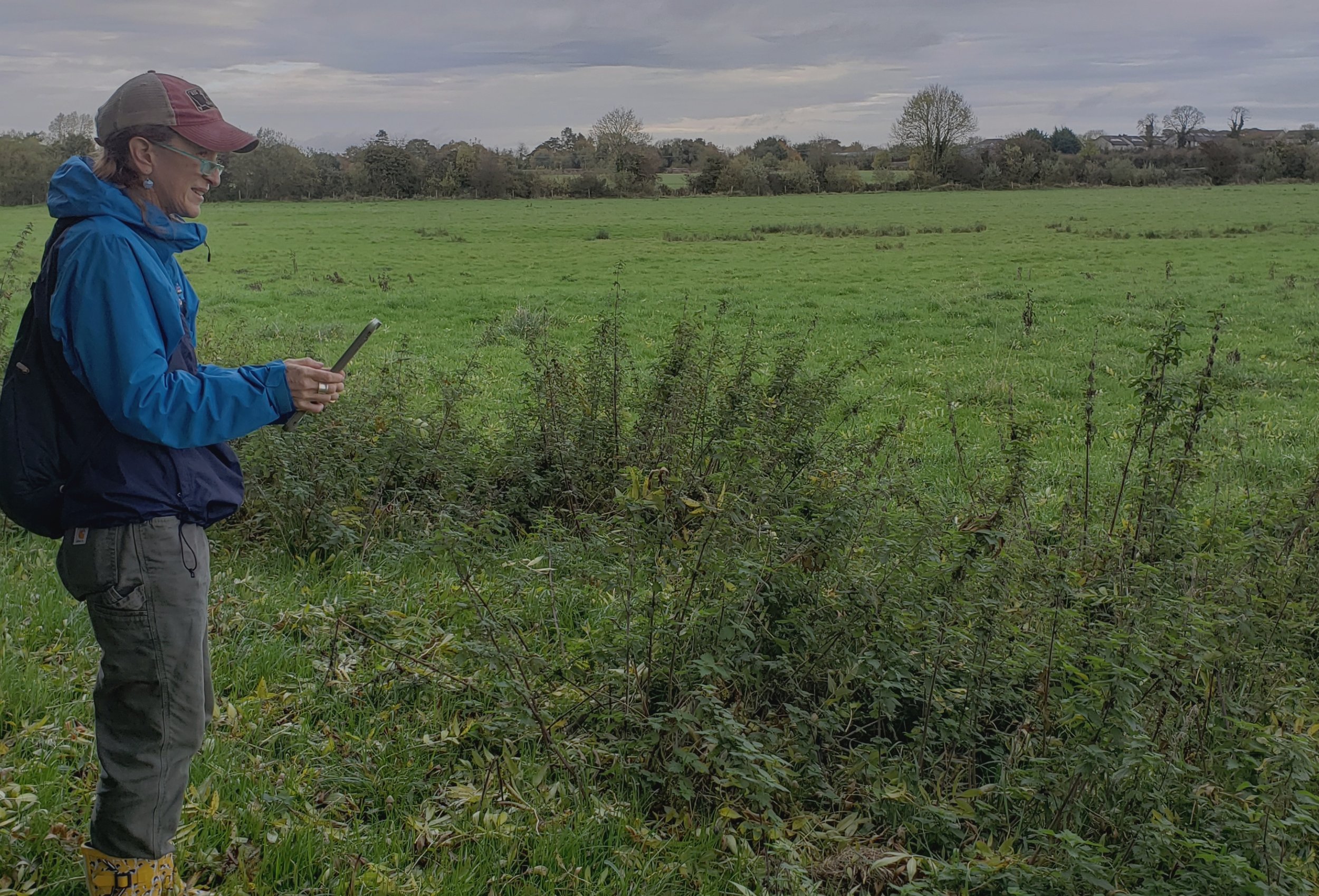
Take your analysis to the next level with on-the-ground field data.
Record site conditions across a full scope of ecosystem services with a guided survey and mobile app. These measurements are automatically aggregated into friendly visualizations that demonstrate the combined impacts and benefits as you explore land use and design decisions.
Refined through 20 years of collaborative development, the EI platform continues to be a place for collective participation.

Collaborative origins
EI is a next generation ecosystem quantification platform based on early groundbreaking work (the ESII Tool) developed in collaboration with The DOW Chemical Company and The Nature Conservancy.
Learn more about Our History

EI Commons
Coming soon, the EI Commons is a collaborative workspace where practitioners can view the EI models and share their feedback. The Commons ensures platform transparency as we work with SMEs to continuously refine the models.
Third-party verification of nature is now possible.
Reliable natural capital accounting and valuation depend on third-party verification. And third-party verification requires an accurate understanding of on-the-ground conditions.
Many tools use remotely sensed data to offer a high-level understanding of potential landscape conditions. But the only way to accurately quantify site performance on a plot of land is to be on the ground and measure it.
The EI platform uses real site data—collected with a guided Field App—to map a site’s attributes. It then calculates the related functions, services, and ultimately, generates results that can be used to value the benefits provided.
Learn more about the Ecosystem Services Cascade

'%3e%3cg id='Final-Copy-2_2_' transform='translate(1275.000000, 200.000000)'%3e%3cpath class='st0' d='M7.4,12.8h6.8l3.1-11.6H7.4C4.2,1.2,1.6,3.8,1.6,7S4.2,12.8,7.4,12.8z'/%3e%3c/g%3e%3c/g%3e%3c/g%3e%3cg id='final---dec.11-2020'%3e%3cg id='_x30_208-our-toggle' transform='translate(-1275.000000, -200.000000)'%3e%3cg id='Final-Copy-2' transform='translate(1275.000000, 200.000000)'%3e%3cpath class='st1' d='M22.6,0H7.4c-3.9,0-7,3.1-7,7s3.1,7,7,7h15.2c3.9,0,7-3.1,7-7S26.4,0,22.6,0z M1.6,7c0-3.2,2.6-5.8,5.8-5.8 h9.9l-3.1,11.6H7.4C4.2,12.8,1.6,10.2,1.6,7z'/%3e%3cpath id='x' class='st2' d='M24.6,4c0.2,0.2,0.2,0.6,0,0.8l0,0L22.5,7l2.2,2.2c0.2,0.2,0.2,0.6,0,0.8c-0.2,0.2-0.6,0.2-0.8,0 l0,0l-2.2-2.2L19.5,10c-0.2,0.2-0.6,0.2-0.8,0c-0.2-0.2-0.2-0.6,0-0.8l0,0L20.8,7l-2.2-2.2c-0.2-0.2-0.2-0.6,0-0.8 c0.2-0.2,0.6-0.2,0.8,0l0,0l2.2,2.2L23.8,4C24,3.8,24.4,3.8,24.6,4z'/%3e%3cpath id='y' class='st3' d='M12.7,4.1c0.2,0.2,0.3,0.6,0.1,0.8l0,0L8.6,9.8C8.5,9.9,8.4,10,8.3,10c-0.2,0.1-0.5,0.1-0.7-0.1l0,0 L5.4,7.7c-0.2-0.2-0.2-0.6,0-0.8c0.2-0.2,0.6-0.2,0.8,0l0,0L8,8.6l3.8-4.5C12,3.9,12.4,3.9,12.7,4.1z'/%3e%3c/g%3e%3c/g%3e%3c/g%3e%3c/g%3e%3c/svg%3e) Your Privacy Choices
Notice at Collection
Your Privacy Choices
Notice at Collection